These nine pioneering atlases harness cartography to history, and graphically illustrate economic, social, political, military, diplomatic, and geographic snapshots of history. Each self-contained map tells its own story; taken together they give context and depth of understanding.
Toronto Book Fair, 2006
On This Day: 20 March 2003:
“On 20 March 2003 Iraq was invaded by a coalition of forces led by the United States, whose main ally was Britain. Australia and Polish troops also took part, as well as Iraqi Kurdish militia in the north. After three weeks of fighting, the Ba’athist government of Saddam Hussein was overthrown.”
In the army I learned to stand on parade and to march, to polish my boots and buckles, and to shoot, before going into the Army Intelligence Corps, where, given the Cold War of that time – the Soviet Union was my area of study. It was to lead me in due course to publish one of my twelve historical atlases … A year before his death, Randolph Churchill had asked me to draft for him, as part of a book which he and his son wrote on the Six Day War of 1967, a 5,000-word essay on “The Jews from Moses to Nasser”. To prepare this for him, and to widen my own understanding, I drew several dozen maps of aspects of Jewish history. This stimulated me to prepare more maps, for myself, and for a lecture I gave at Oxford, “The Jews versus Geography”.
Book Club Offer April 2024 For 20% discount, enter EFL04 at checkout BUY HERE From its origins to its terrible legacy, the course of the First World War is vividly set out in a series of 196 maps. Together, these maps form a comprehensive and compelling picture of the war…
The war that began with Japan’s renewed attack on China in 1937, and came to Europe two years later with the German invasion of Poland in 1939, spread ruthlessly to many nations and to every continent. It led to the loss of far greater military and civilian life than any…
The Atlas of American history consists of a series of 163 graphic and detailed maps, accompanied by informative captions, facts and figures. The complete history of America is unravelled through vivid representations of all the significant landmarks, from early migrations and Native tribes to sites of American Heritage abroad, and…
A map history of Britain from the time of the Celts and the Romans to the Twenty-first Century, in 214 maps. The evolving story of the British Isles forms the central theme of this fascinating and compelling atlas, which covers England, Ireland, Scotland and Wales – and the expansion and…
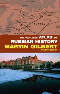
A comprehensive map history of Russia from the earliest Slav settlements and Asian migrations to the fall of Communism and the post-Communist era. This complex and often turbulent history of Russia over the course of 2000 years is brought to life in a series of 176 maps. It covers not…
This Atlas presents, through 363 maps, each phase of Hitler’s war against the Jewish people, against all those with Jewish blood or of Jewish descent, wherever they could be found. It traces the German conquest of territory in which Jews had lived for centuries: the first random but brutal killings,…
A comprehensive map history of the Jewish people from Biblical times to the Twenty-first Century. Spanning more than four thousand years of history, this historical atlas presents a vivid picture of a fascinating people, and the trials and tribulations that have haunted the Jewish story, as well as Jewish achievements,…
The Arab -Israeli Conflict Atlas traces the tangled and sometimes bitter history of the Arab-Jewish struggle from the early Twentieth Century to the present. It also illustrates the current moves towards finding peace, and the efforts to bring the conflict to an end through negotiation and agreed boundaries. In 227…
A graphic history of the city of Jerusalem presenting the development of a remarkable city, the focal point of Jewish, Christian and Muslim sentiment, and the capital of the State of Israel. Sixty-nine maps track the city’s story from ancient times to the Israeli and Palestinian neighbourhoods of the present…
First published in 1966, this first of Sir Martin’s historical atlases shows, in 121 maps, the historical development of the world from “The European Empires in 1870” to “American Preparedness Since 1960”. Also included is a decade by decade timeline (and notations of which map shows the event) for Great…
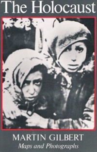
Published for the Holocaust Educational Trust, this slim atlas chronicles in photographs and maps the scale of the slaughter – six million Jews murdered – the widespread acts of Jewish resistance, the fate of many millions of non-Jews who were also murdered, the often inadequate response of the world outside…
Wanting to see the lands of the Bible through the eyes of the young, Martin Gilbert took Natalie, his eleven-year-old daughter, with him to the Holy Land. They travelled together from northern-most Galilee to Mount Sinai. For both of them it was a voyage of discovery. They were struck by…
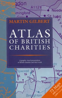
“The aim of this atlas is to provide a picture of the scale and nature of the work of British charities. Individual maps cover the work of forty-eight different charities. In all, four hundred charities are mentioned on the maps: I have listed them in a special index. Every town…
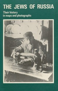
A graphic history of photographs and maps that show Jewish dispersal in ancient times to Jewish towns in the Pale of Settlement through the German occupation during the Second World War and Prisoners of Zion during the Soviet era, to 1976.
A slim atlas of fifteen maps outlining Jewish communities in the Middle East before Islam, and then charts their communities in ten countries up to 1975, including Jewish refugees who made their way to Israel after it was established, and Arab refugees from what is now Israel.